
Mummy Range
Colorado
Coordinates
40.5628, -105.6384
About Mummy Range
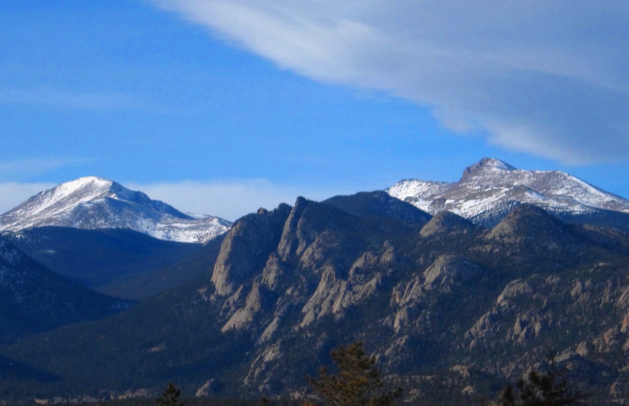
The Mummy Range is a rugged subrange of the Rocky Mountains located northwest of Fort Collins, Colorado, characterized by steep granite peaks, pristine alpine lakes, and expansive tundra environments. This range stretches approximately 20 miles and features dramatic elevation gains, with trails ascending from 8,000 feet to over 13,000 feet. The range is known for its accessibility via popular trailheads in Rocky Mountain National Park and the surrounding national forest lands, making it a premier destination for hikers seeking classic alpine scenery without extreme technical demands.
The Mummy Range offers exceptional hiking opportunities ranging from moderate day hikes to challenging backpacking expeditions. Popular routes include the trek to Fairchild Lake, Cascade Lake, and the scenic ridgeline traverses that connect multiple peaks. The granite composition of the peaks provides solid rock for scrambling, and several routes reach Class 3 terrain. The range's position on the western edge of the Front Range creates dramatic weather patterns and stunning views across the continental divide.
Outdoor enthusiasts are drawn to the Mummy Range for its combination of accessibility, scenic alpine terrain, and relative solitude compared to more heavily trafficked areas of Rocky Mountain National Park. The range supports diverse wildlife including bighorn sheep, mountain goats, pikas, and marmots, making it excellent for wildlife viewing and nature photography. High alpine lakes offer opportunities for photography and reflection in pristine mountain settings.
Photos
Data Source
Geographic data from USGS Geographic Names Information System (GNIS). Descriptions generated with AI assistance.